Estate Shutter Florida — Real Estate Photography South Florida

Florida Real Estate Photography — Miami, Orlando, Tampa & Fort Lauderdale

Estate Shutter Florida delivers professional HDR real estate photography, FAA-certified drone aerials, Zillow 3D virtual tours, AI virtual staging, and twilight photography for agents, brokers, and developers across South Florida (Miami-Dade, Broward, Palm Beach) and Central Florida (Orange, Hillsborough, Osceola counties). Founded by Mike Brun — FAA Part 107 certified drone pilot, 6+ years experience, 2,000+ MLS listings photographed. Photos starting at $199 with guaranteed 24-hour delivery.

Book Your Shoot View Packages & Pricing →

Call (786) 604-0823  ·  info@estateshutterfl.com  ·  Everyday 7am–7pm  ·  Miami, FL

Real Estate Photography Services

  • HDR Real Estate Photography — from $199

    Professional interior and exterior photography with 24-hour delivery. 25–50 fully edited photos. Sky replacement, color correction, object removal, and MLS-ready files included. Serving all of Florida.

  • FAA-Certified Drone Photography — from $199

    Aerial photography and 4K video by FAA Part 107 certified pilots. Captures waterfront access, lot size, neighborhood context, and community amenities. Required airspace authorizations obtained before every flight.

  • Zillow 3D Virtual Tours — from $199

    Interactive 3D walkthroughs for Zillow, Realtor.com, and MLS. Listings with Zillow 3D tours generate 40% more inquiries and earn the Zillow "3D Home" badge. Ideal for international and remote buyers.

  • AI Virtual Staging — from $7/photo

    Transform empty rooms into furnished spaces using AI. 12 styles, results in ~15 minutes. Order online anytime without scheduling. Volume pricing: 1–5 photos $20, 6–10 photos $15, 11–15 photos $10, 16+ photos $7.

  • Twilight & Blue Hour Photography

    Dramatic dusk exterior photography for luxury and waterfront listings. Particularly effective for oceanfront condos, Intracoastal estates, and high-rise penthouses with Miami or Fort Lauderdale skyline views.

  • Commercial Photography

    Architectural, office, retail, and construction progress photography for developers, architects, and commercial brokers. Serving Miami, Fort Lauderdale, Boca Raton, West Palm Beach, Naples, and Tampa.

Packages & Pricing

Transparent pricing — no hidden fees. 10% off for new clients. Pay only after approving your gallery.

Package Price Includes
Basic Photographyfrom $19925–35 HDR photos, 24-hr delivery, sky replacement, object removal
Standard Packagefrom $349Photos + drone aerials, 30–50 images, 4K drone stills & video
Pro Packagefrom $599Photos + drone + Zillow 3D tour + twilight + floor plan
AI Virtual Stagingfrom $7/photoOnline ordering, 12 furniture styles, results in ~15 min, volume discounts

See all packages and detailed pricing →

Real Estate Photography Service Areas — South Florida

We serve all of Miami-Dade, Broward, and Palm Beach counties with no travel fees.

Miami-Dade County

Broward County

Palm Beach County

Real Estate Photography FAQ — Florida

How much does real estate photography cost in Miami?

Packages start at $199 for 25–35 HDR photos with 24-hour delivery. Standard package (photos + drone) from $349. Pro package (photos + drone + Zillow 3D + twilight + floor plan) from $599. New clients get 10% off. Pay only after gallery approval.

How quickly will I receive my real estate photos?

We guarantee 24-hour delivery. Over 85% of galleries are delivered within 16 hours. Photos arrive via private online gallery with MLS-ready and high-resolution downloads. Rush same-day delivery available.

Are you FAA certified for drone photography in Florida?

Yes. All drone pilots hold FAA Part 107 Remote Pilot Certificates — legally required for commercial drone photography in Florida. We carry full liability insurance and obtain FAA airspace authorizations near all major Florida airports (MIA, FLL, PBI, MCO, TPA) before every flight.

What areas of Florida do you serve?

All of Miami-Dade, Broward, and Palm Beach counties in South Florida, plus the Orlando metro (Orange, Osceola, Seminole counties) and Tampa Bay (Hillsborough, Pinellas, Pasco counties) in Central Florida — 50+ cities statewide including Miami, Fort Lauderdale, Boca Raton, Orlando, Tampa, Windermere, Winter Park, and Lake Nona. No travel fees within each region.

What is a Zillow 3D virtual tour and why does it matter for Florida listings?

Zillow 3D creates a fully navigable 3D digital twin buyers can explore online from any device. It earns the Zillow "3D Home" badge and generates 40% more inquiries. Essential for Florida's international and remote buyers — particularly in South Florida's luxury markets and Central Florida's high-volume relocation markets.

About Estate Shutter Florida

Founded by Mike Brun, Estate Shutter Florida is Florida's premier real estate photography service, trusted by 1,300+ active realtors across South Florida and Central Florida. Mike holds an FAA Part 107 Remote Pilot Certificate, is a member of the Professional Real Estate Photographers Association (PREA), and is a Zillow Premier Partner. 6+ years of South Florida experience · 2,000+ MLS listings photographed.

Equipment: Sony α7R V · DJI Mavic 3 Pro (Hasselblad lens) · Zillow 3D Pro3 · Profoto B10X. Learn more →

3D Mapping & Surveying

3D Drone Mapping & Site Documentation

Survey-ready 3D models, orthomosaics, and progress scans for commercial sites, construction, and infrastructure across South Florida.

RTK / GPS-Accurate
Survey-Grade Precision
3-5 Day Turnaround
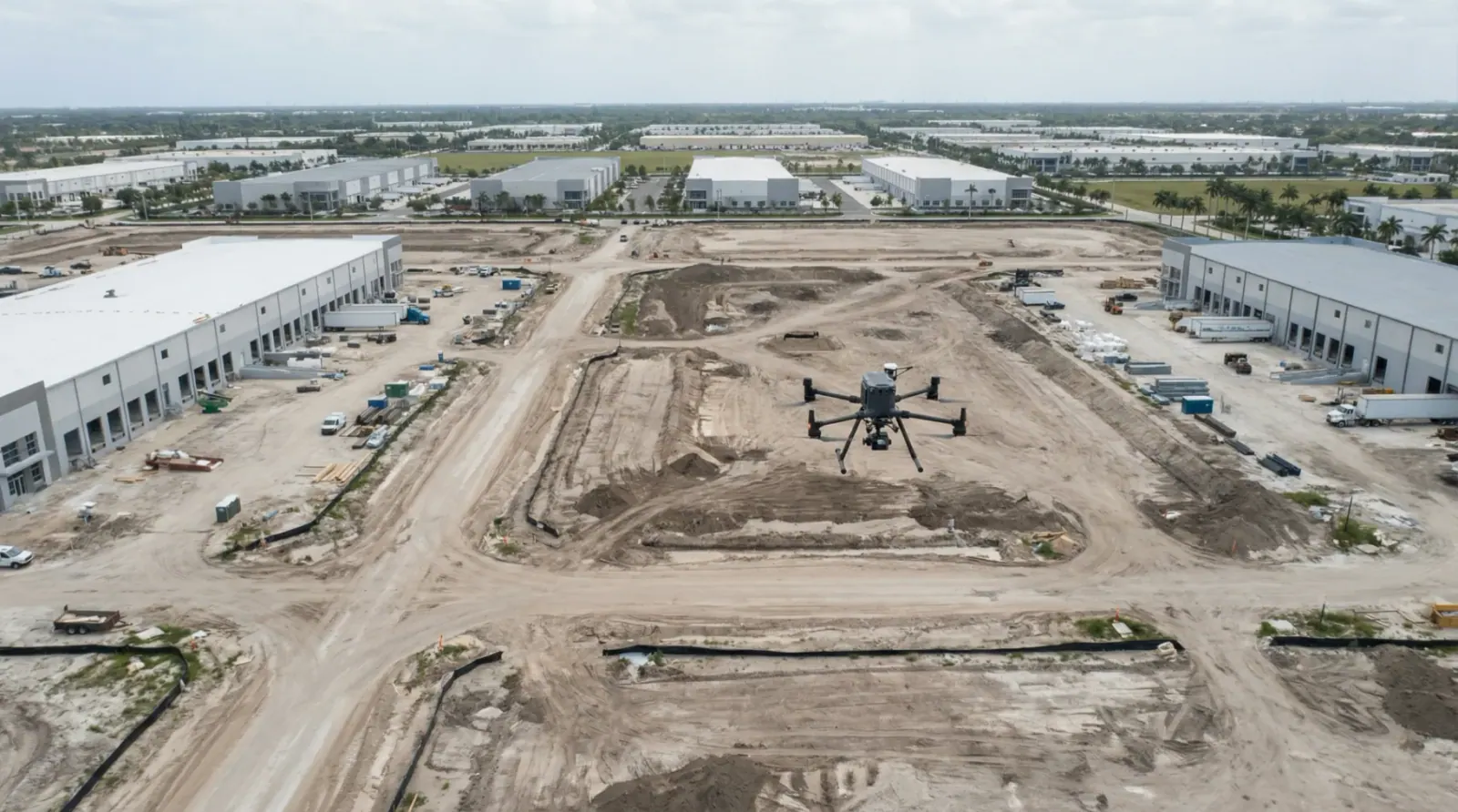
Professional 3D drone mapping of commercial property

Professional drone mapping captured for commercial documentation

General ContractorsProperty DevelopersEngineering FirmsAsset ManagersInsurance Companies

What You'll Receive

Professional-grade deliverables ready for your engineering, marketing, or documentation needs.
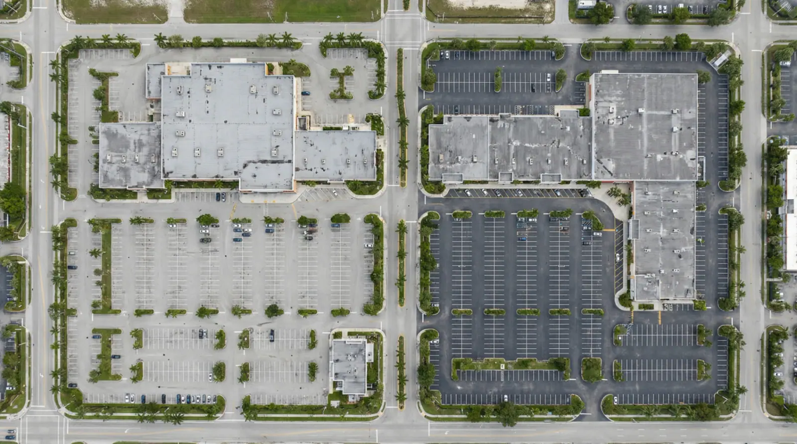
Orthomosaic Map

Orthomosaic Map

High-resolution stitched top-down map for measurement and planning.
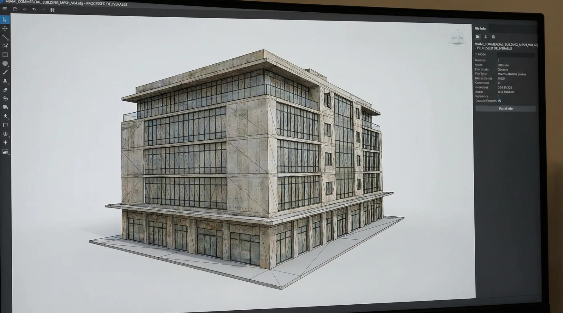
3D Model

3D Model

Photoreal 3D model for review and documentation.
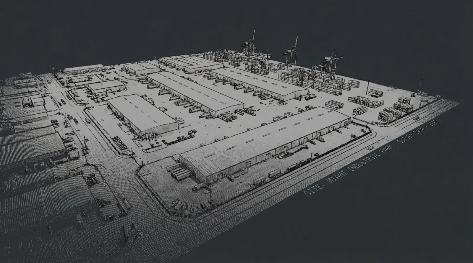
Point Cloud

Point Cloud

Accurate spatial capture for engineering workflows.
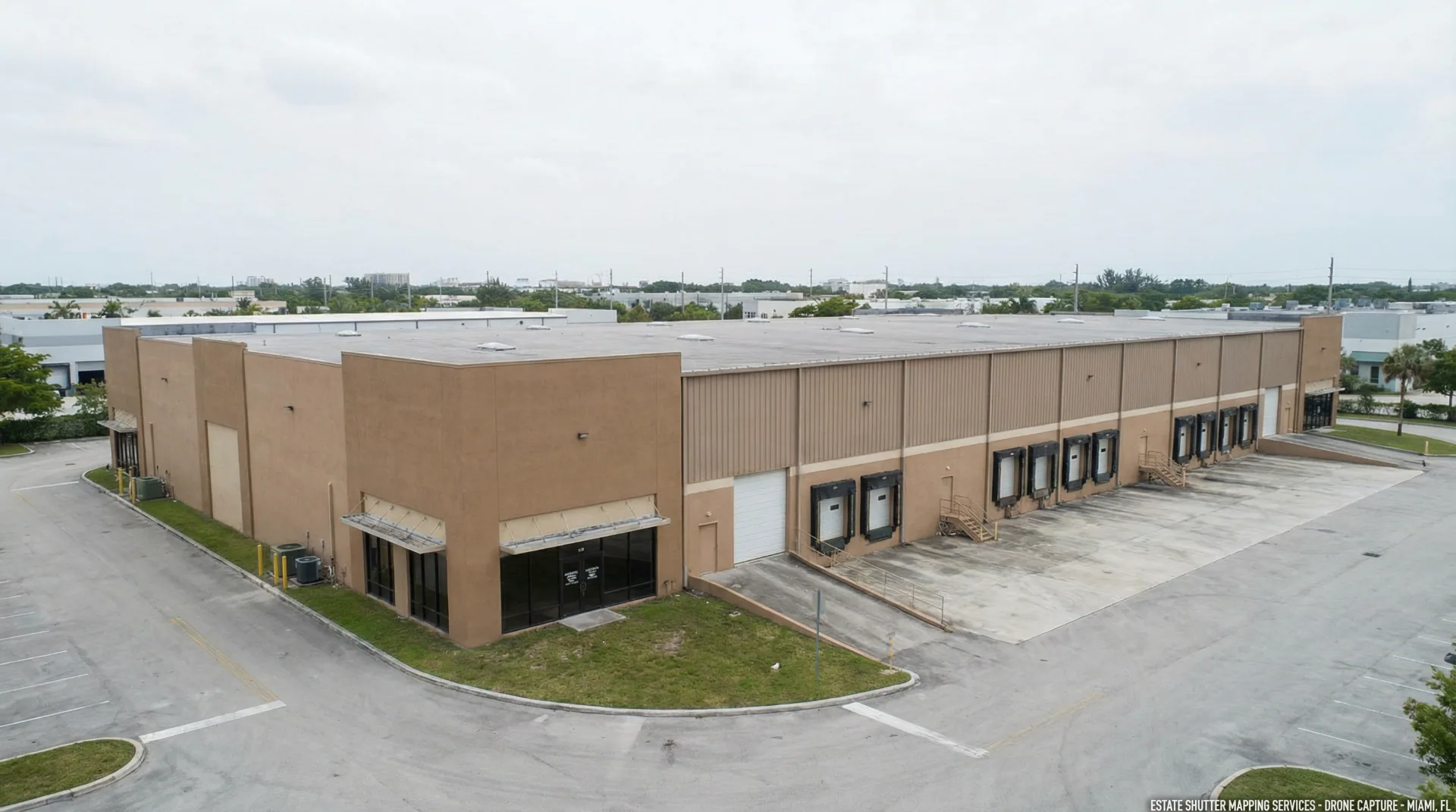
Elevation Views

Elevation Views

Side and elevation documentation of structures and grade.
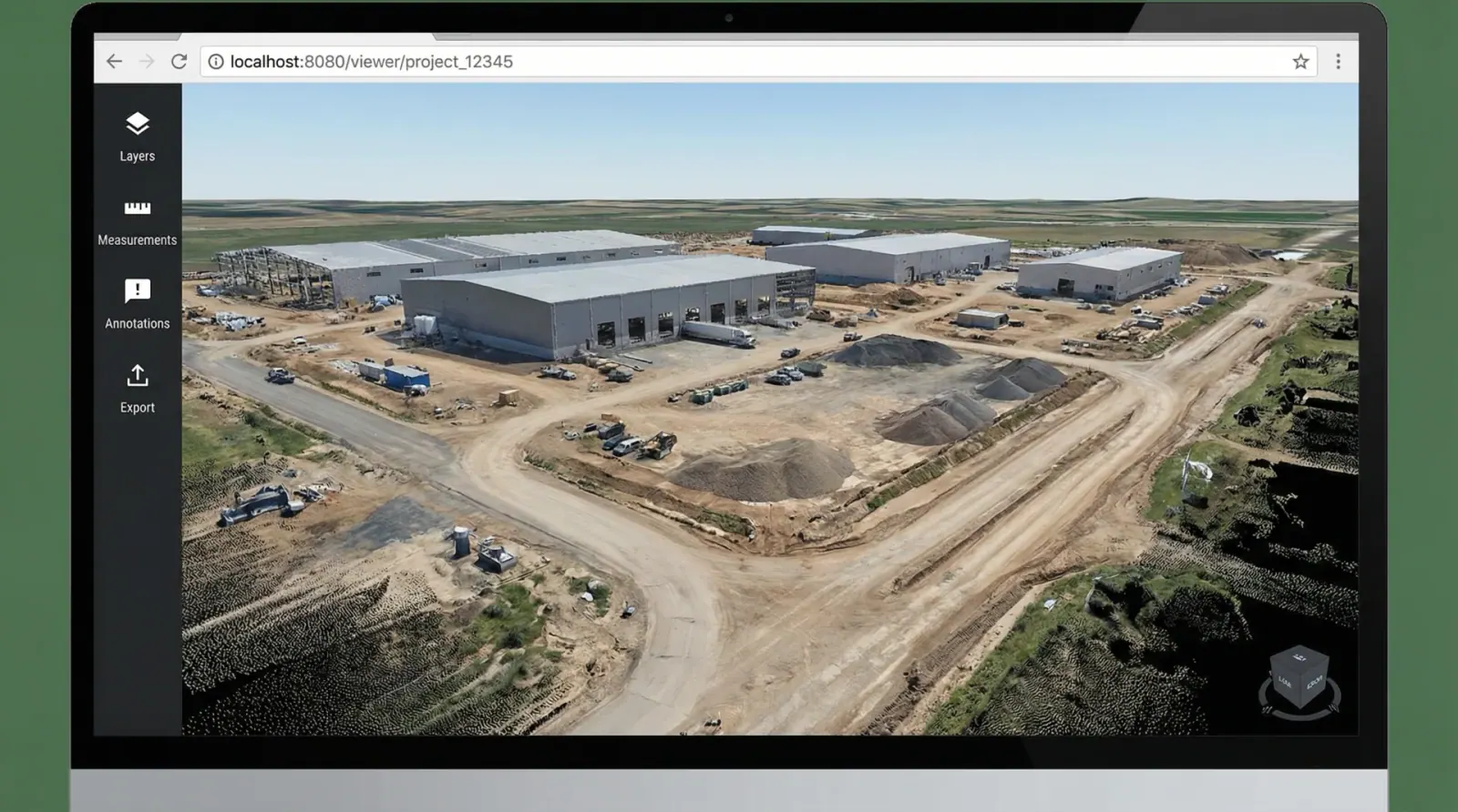
Web Viewer

Web Viewer

Shareable link for teams to view and annotate.
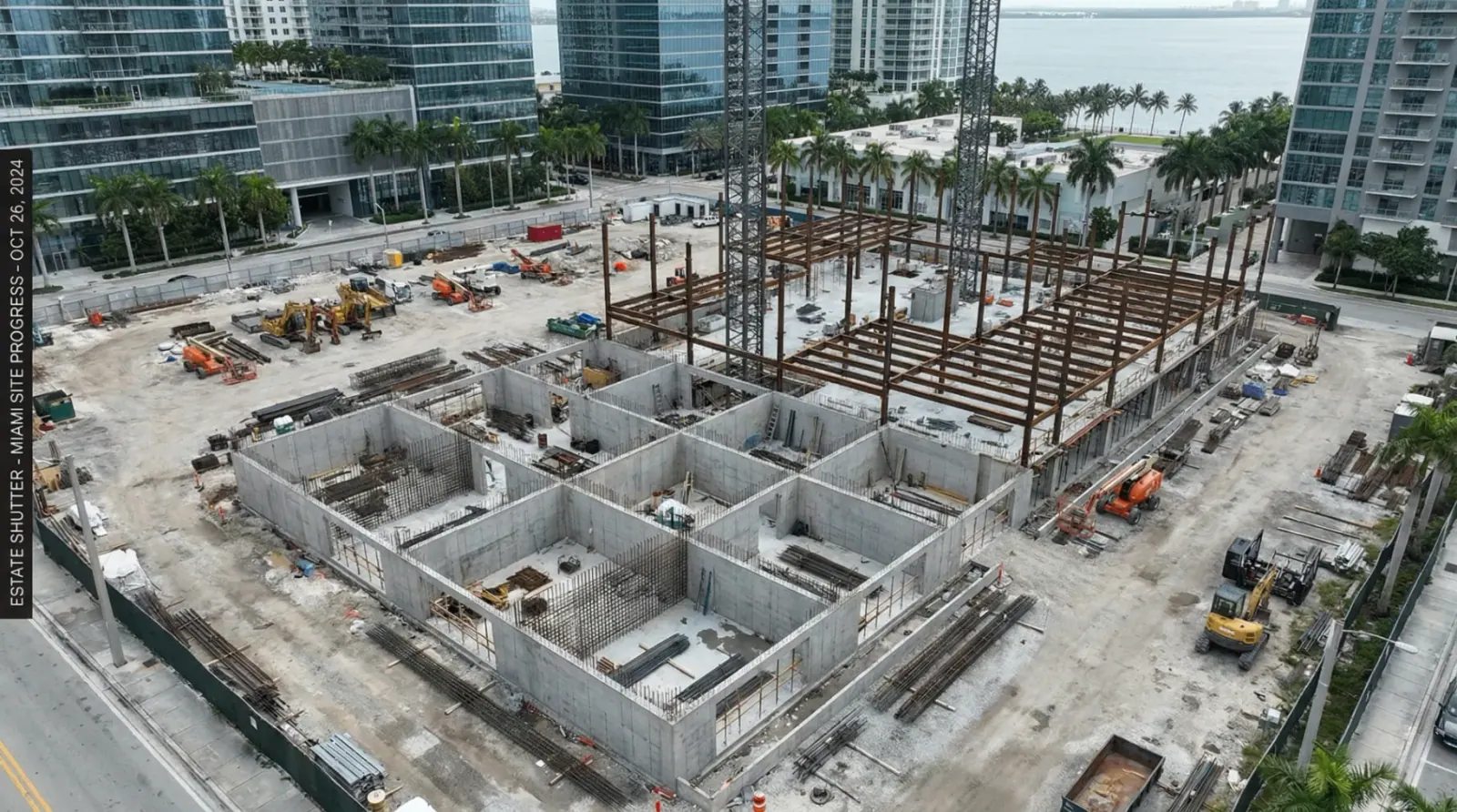
Progress Scans

Progress Scans

Repeatable captures from the same flight path over time.

Need a specific format? We deliver to match your workflow.

Recent Projects

Mapping solutions delivered across South Florida

Industrial Complex

Industrial Complex

Doral

Residential Development

Residential Development

Coral Gables

Commercial Site

Commercial Site

Brickell

Infrastructure Project

Infrastructure Project

Fort Lauderdale

Who It's For

Construction Progress Tracking
Pre-Construction Site Conditions
Investor & Buyer Due Diligence
Roof & Facade Documentation
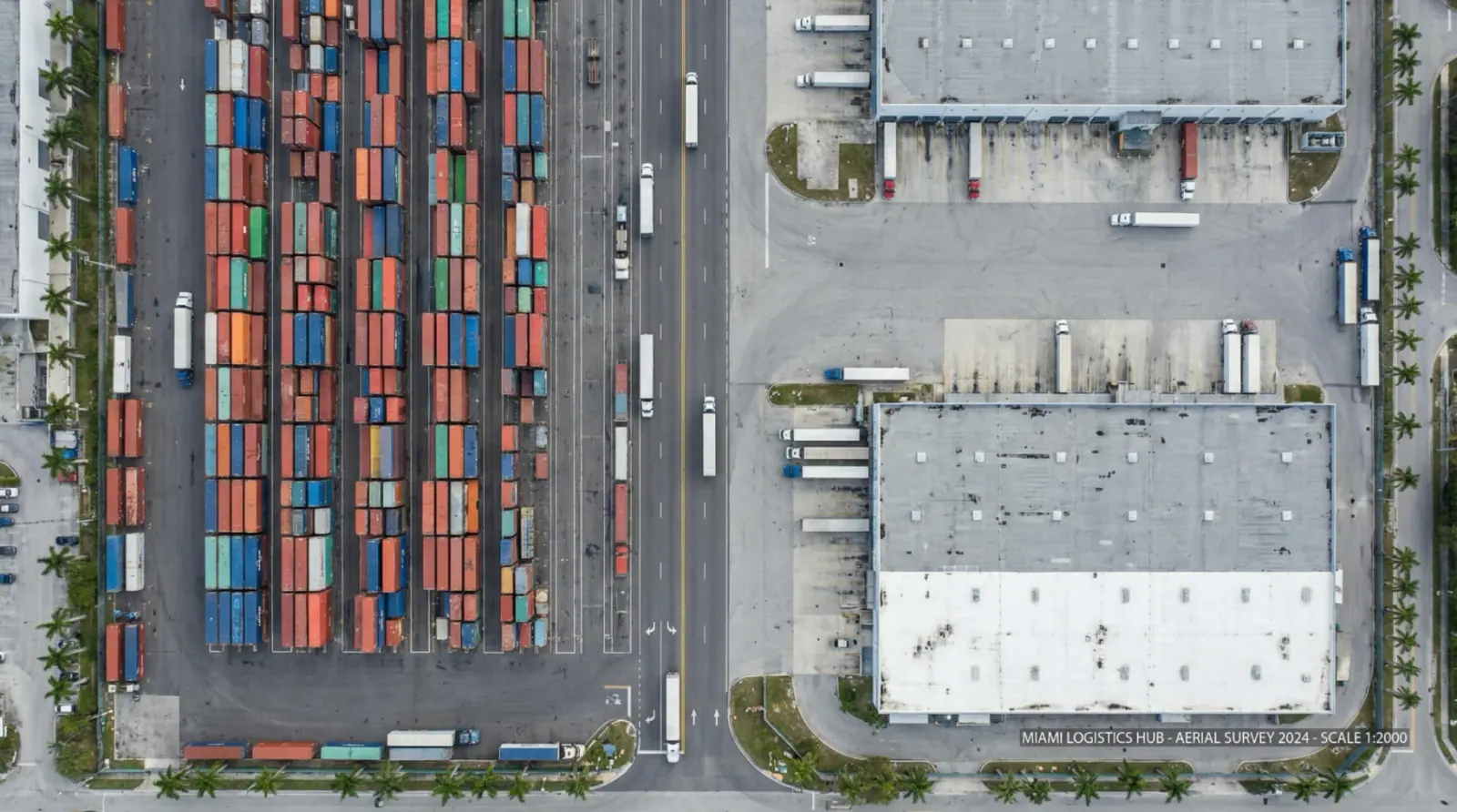
Logistics Yard & Asset Layout
Retail & Industrial Property Marketing
Infrastructure & Utility Corridors
Insurance & Risk Documentation
Logistics yard drone mapping

How It Works

From flight plan to final delivery in as little as 3 days.
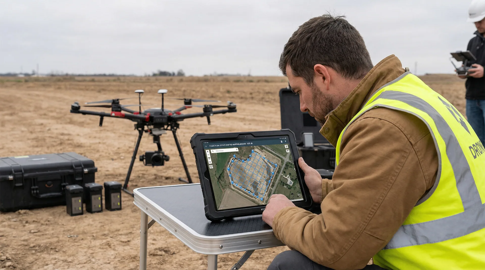
Scope & Flight Plan
1

Scope & Flight Plan

We review your site and define deliverables, accuracy requirements, and schedule.

On-Site Capture
2

On-Site Capture

FAA-certified pilots execute the flight plan with RTK-enabled drones.
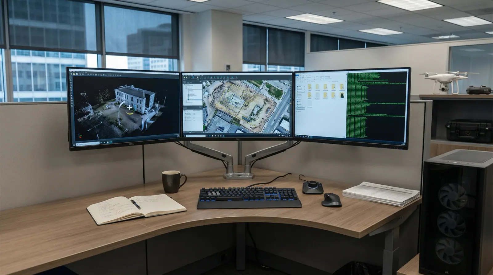
Processing & QA
3

Processing & QA

Images are stitched into orthomosaics, 3D models, and point clouds.

4

Delivery

You receive files in your preferred formats plus a shareable web viewer.

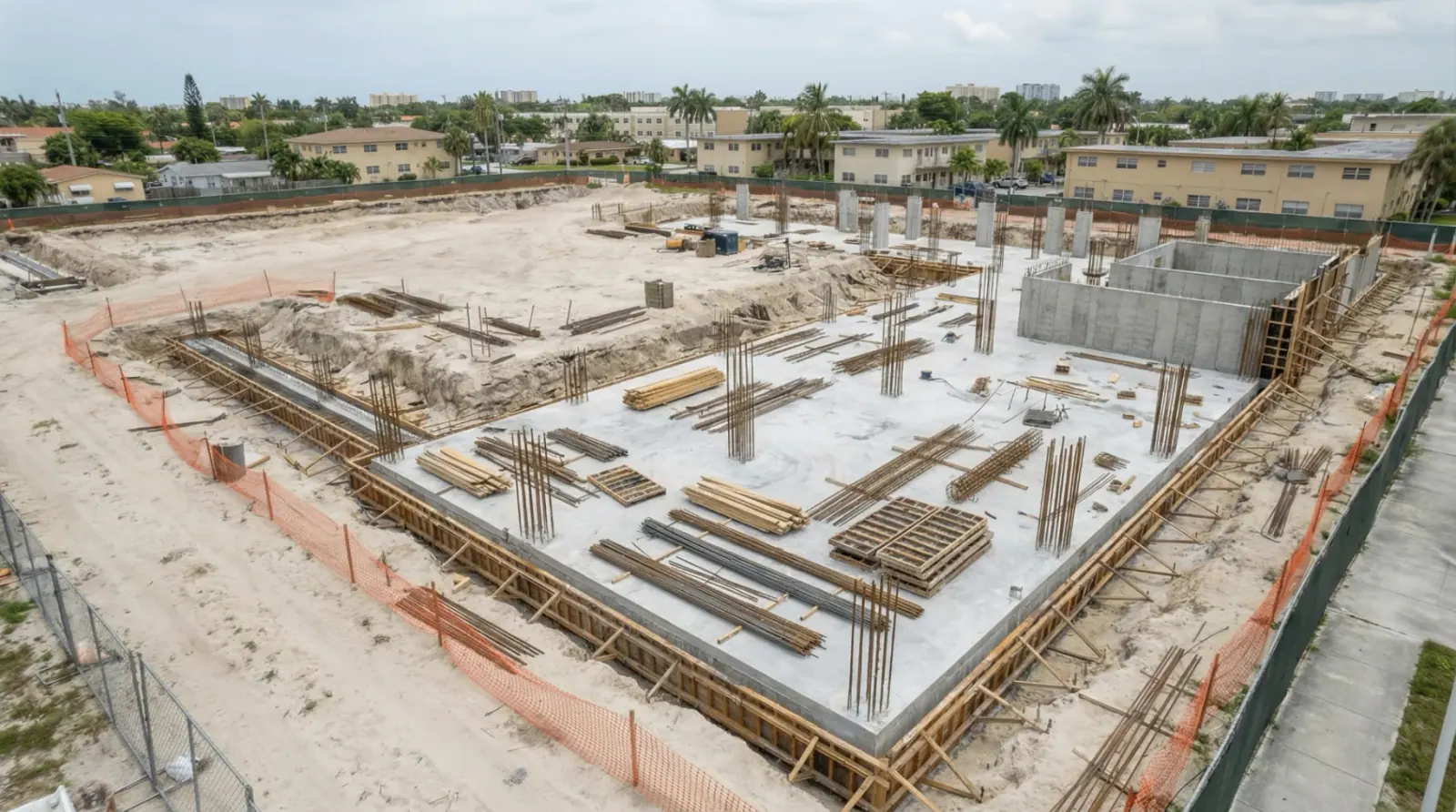
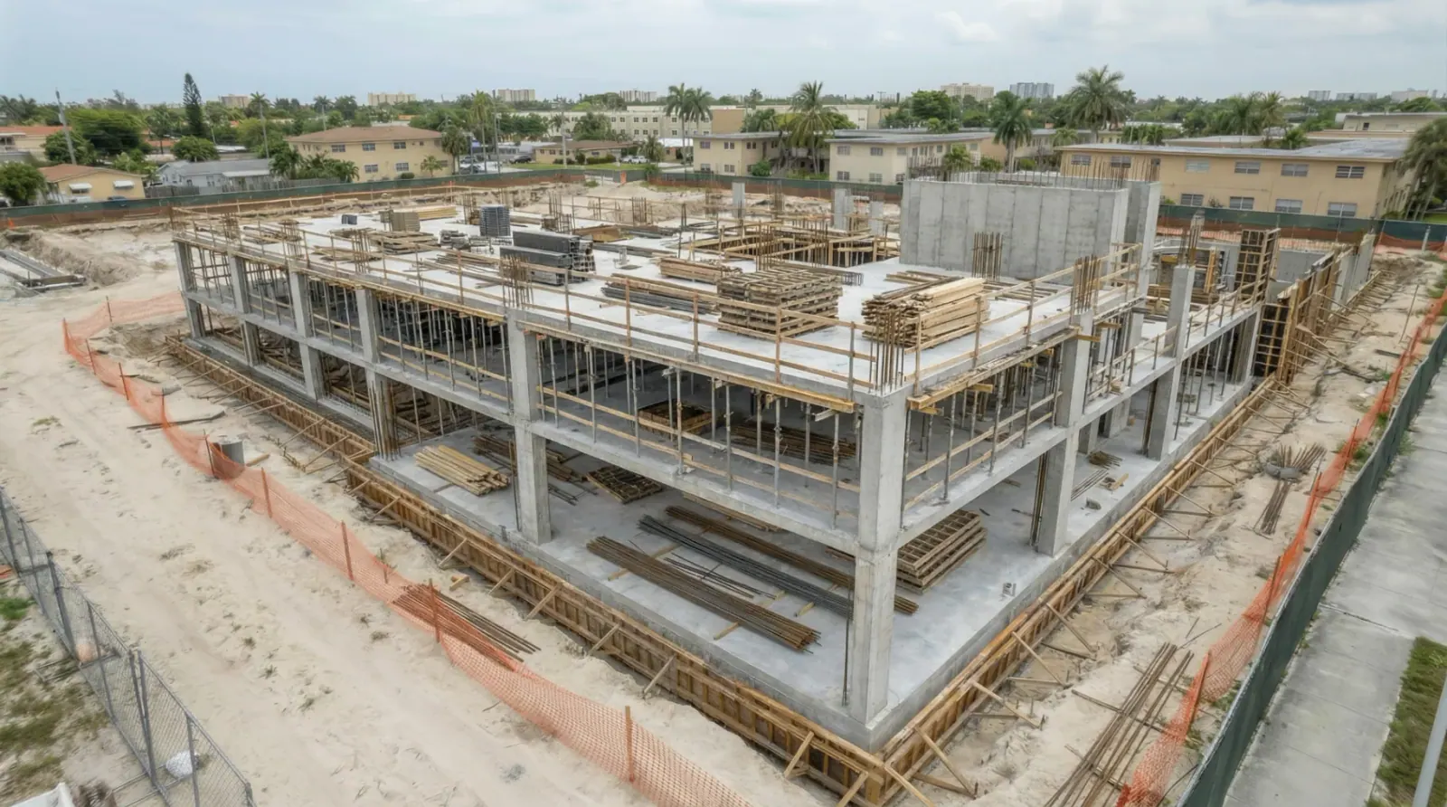
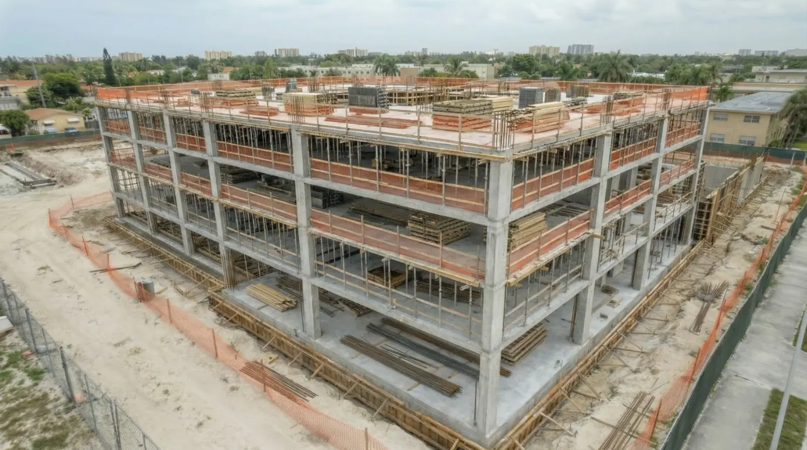
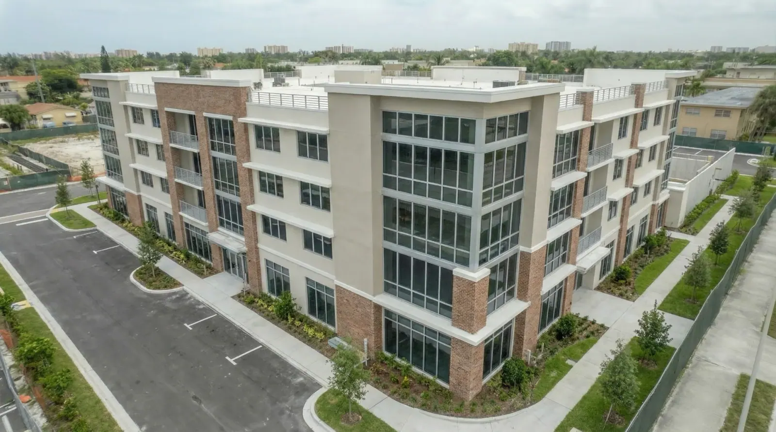
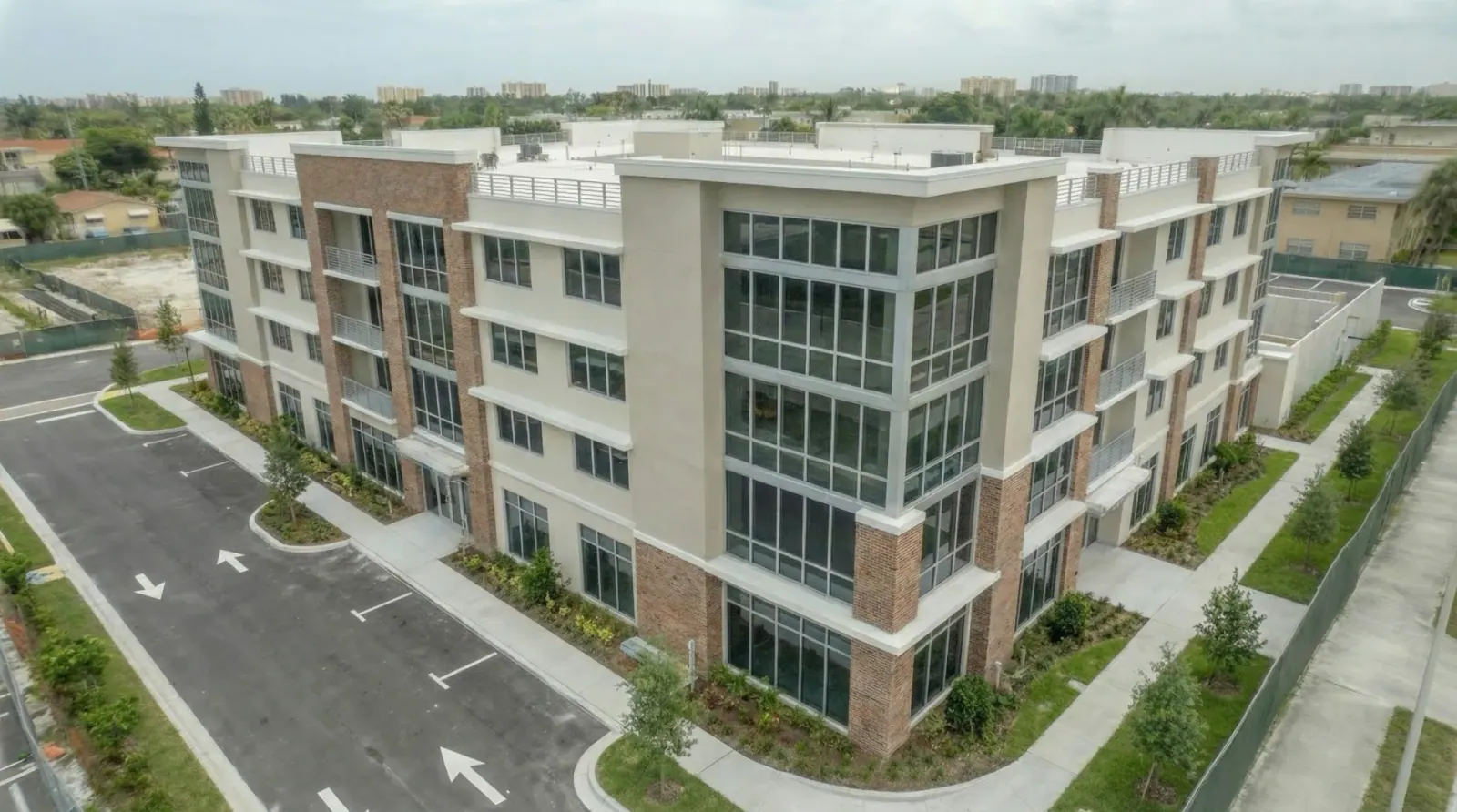
Progress Documentation You Can Verify

Captured from identical drone coordinates across every phase.
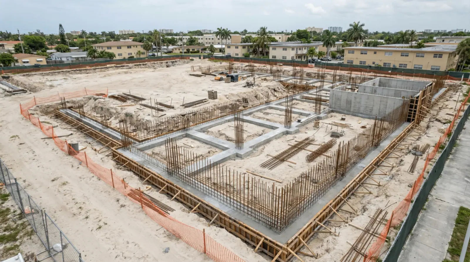
Month 1 - Foundation

Month 1

Foundation

Month 2 - Ground Floor

Month 2

Ground Floor

Month 3 - Mid-Rise Structure

Month 3

Mid-Rise Structure

Month 4 - Upper Floors

Month 4

Upper Floors

Month 5 - Exterior Work

Month 5

Exterior Work

Month 6 - Completion

Month 6

Completion

Same GPS position · Same altitude · Same camera angle

Packages

Choose the option that fits your project scope.

One-Time Mapping

Single site documentation

  • Orthomosaic + basic 3D model
  • Single site visit
  • Standard delivery (3-5 days)
  • Web viewer link
Get a Quote
Most Popular

Progress Documentation

Ongoing project tracking

  • Monthly or bi-weekly capture
  • Identical flight paths
  • Timeline-ready exports
  • Comparison overlays
  • Priority support
Request a Schedule

Enterprise / Multi-Site

Portfolio-wide coverage

  • Multiple properties
  • Consistent reporting format
  • Priority turnaround
  • Dedicated account manager
  • Volume pricing
Talk to Sales

Pricing depends on site size, deliverables, and accuracy requirements.

Frequently Asked Questions

Get a Mapping Plan for Your Site

Tell us the address and what you need — orthomosaic, 3D model, point cloud, or progress scans.